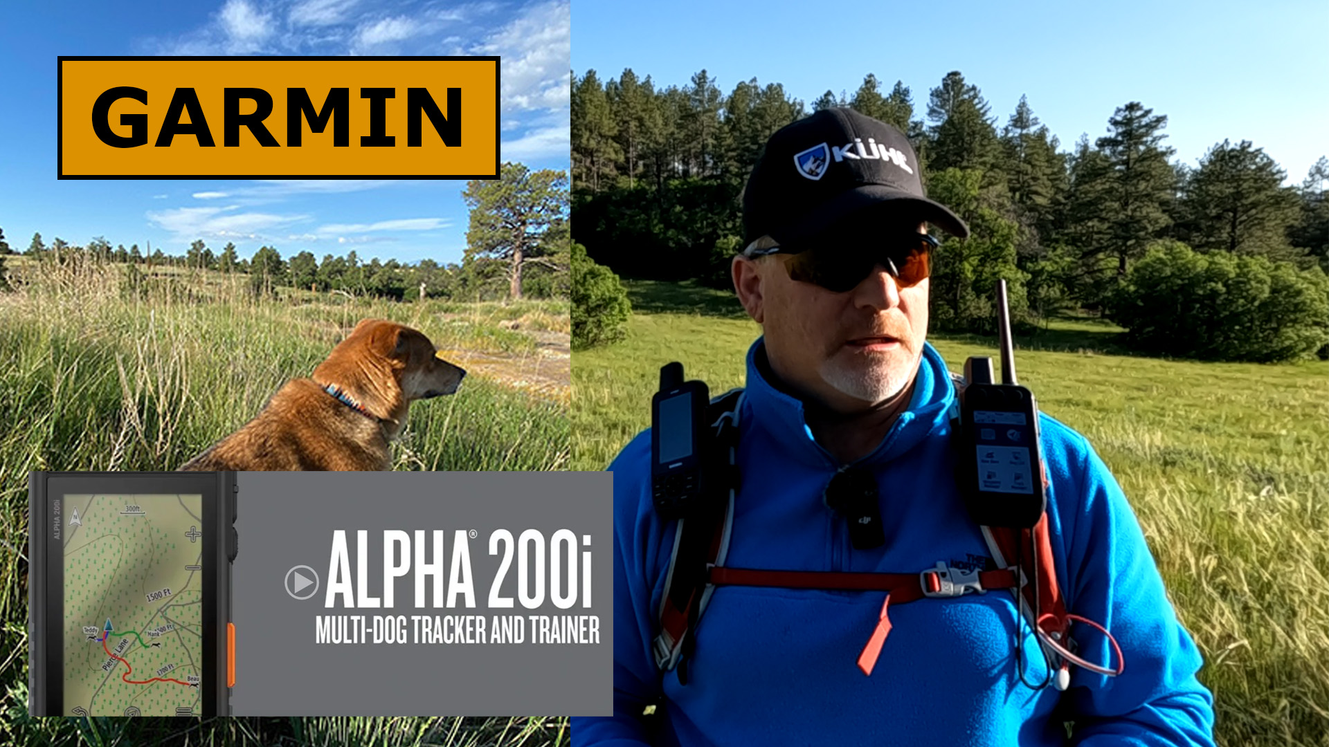
Check out the Garmin Alpha 200i Field Test to see more about what this satellite communicator and dog tracker can do.
Field Test Results
This was the first time out with my new Garmin Alpha 200i. It’s an inReach Communicator and Dog Tracker. I ran through the physical features, plus took a quick look at how to operate the S.O.S. Emergency feature, 2-way messaging, weather, and navigation.
One thing I really like about the Alpha 200i is it’s a touch screen, which makes it much easier to get around the device. It’s nice that it is also an inReach satellite messenger that has the S.O.S. button on the side.

2-Way Messaging
Here are several messaging screenshots of the Alpha 200i so you can get a sense of what 2-way messaging looks like.

Weather
Check out these weather screenshots on the Alpha 200i.

The 200i also has Active Weather that will give you even greater weather detail.
![]()
Navigation
There is a lot more to navigation than what I will show you here, but it will still give you a good idea.

Dog Tracking with the Map
Here is a quick look at some of the things you can do with the Alpha 200i when you want to track your dog.
![]()
Final Thoughts
I’m very impressed with the Garmin Alpha 200i after my first time out with it. Check out this YouTube video of the field test for more information.
No products found.
![]()
Return to Home Page