Learn more about the Garmin Montana 700i and 750i here at Hiking Emergency Beacon.

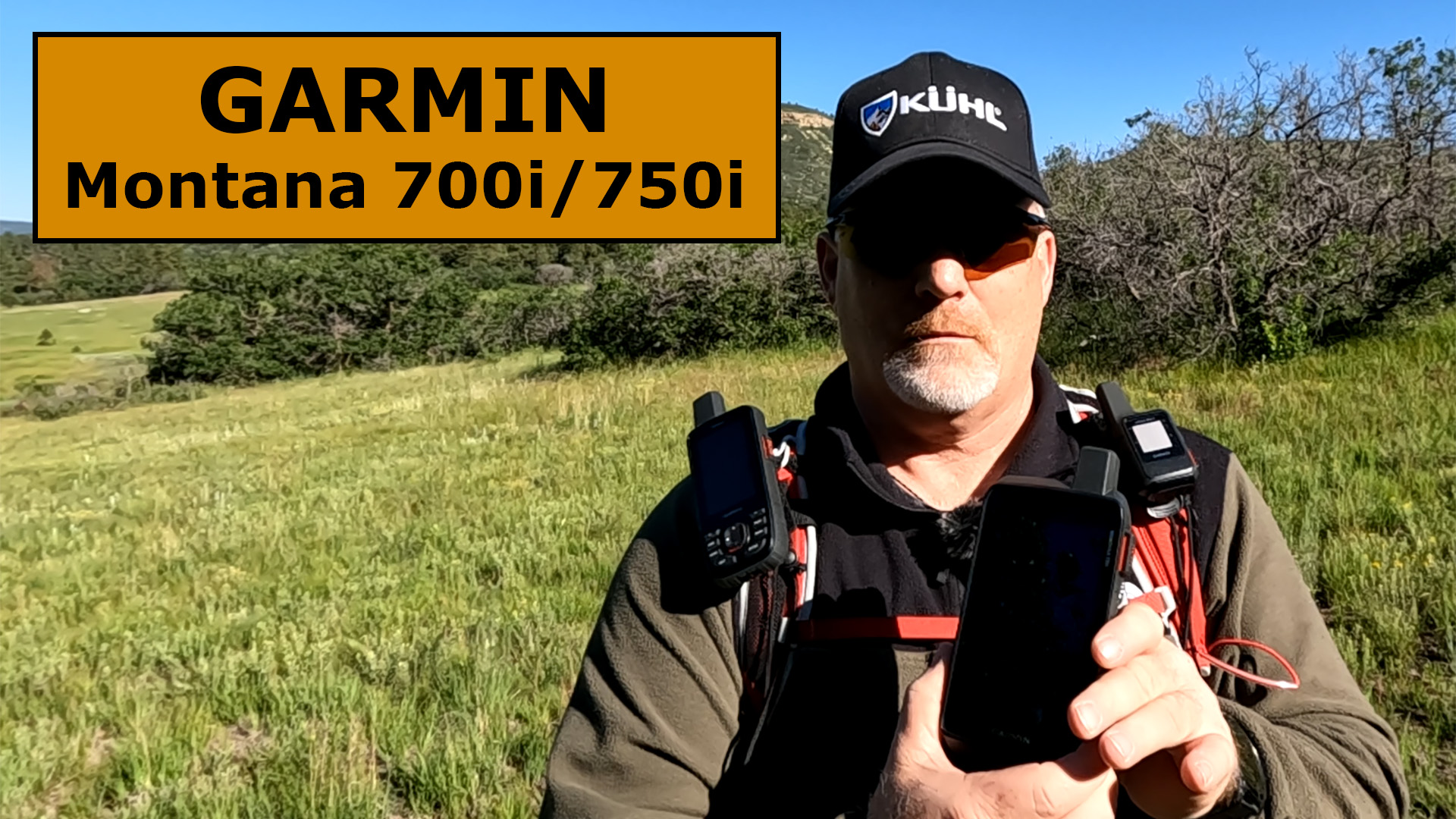
Garmin Montana 750i Features
- Emergency SOS
- 2-way Messaging
- inReach Technology
- Built-in Topo Maps
- Topo Active Maps

- Public Land Boundaries
- Satellite Views with BirdsEye
- Outdoor Maps+ with a Subscription
- City Navigator Maps with Turn-by-Turn Instructions
- Touch Screen
- 8 MP Camera (the 700i does not have a camera)
- Add Trip Pics on the Map with Geotags
- Ful QWERTY Keyboard for Easy Messaging
- Routable Topographic Maps
- Weather Forecasts
- Military Standard 810 Thermal, Shock, Water and Vibration
- Flexible Subscription Plans
- Global Pole-to-Pole Satellite Coverage with the Iridium Satellite Network
- ABC Sensors
- Syncs with the Astro and Alpha Series to Track Your Dogs
- Wikiloc Trails
- Multi-GNSS Satellite Networks
- Use MapShare to Let Family and Friends Track Your Location
- Expedition Mode to Save Battery
- Vehicle Mounts Available
More to Come
Check back regularly as I add more Garmin Montana 750i articles and YouTube videos as I break down everything this powerful satellite communicator can do. I will be adding detailed videos to a playlist on my YouTube channel HERE.
Watch this YouTube video to learn more about the differences between each of these satellite messengers and maybe I can help direct you to the best one for you.
Sale 
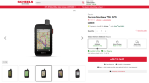
Garmin Montana 700i, Rugged GPS Handheld with Built-in inReach Satellite Technology, Glove-Friendly 5" Color Touchscreen
- Features rugged military-grade construction and a 5” touchscreen display that’s 50% larger than the previous model; offers easy viewability and includes versatile mounting solutions.Control Method:Touch,Application.Special Feature:Routable Topo Maps; Multiple GNSS Networks, ABC Sensors; inReach Satellite Communication; BirdsEye Satellite Imagery.
- Trigger an interactive SOS to the GEOS 24/7 monitoring center — two-way messaging via the 100% global Iridium satellite network (active satellite subscription required; some jurisdictions regulate or prohibit the use of satellite communications devices).
- Multi-GNSS (GPS and Galileo) support — plus preloaded TopoActive maps and City Navigator street map navigation; navigation sensors include 3-axis compass and barometric altimeter
- Pro-connected with ANT+ technology, Wi-Fi connectivity and BLUETOOTH wireless networking, giving you direct-to-device access to BirdsEye Satellite Imagery downloads, location sharing, Connect IQ app support and more
- Compatible with the Garmin Explore website and app to help you manage waypoints, routes, activities and collections, use tracks and review trip data from the field
This product was presentation was made with AAWP plugin.
![]()
GPSMAP Montana 700i Specifications


Learn more about the Montana 700i and 750i specifications at Garmin.com.
Return to Home Page