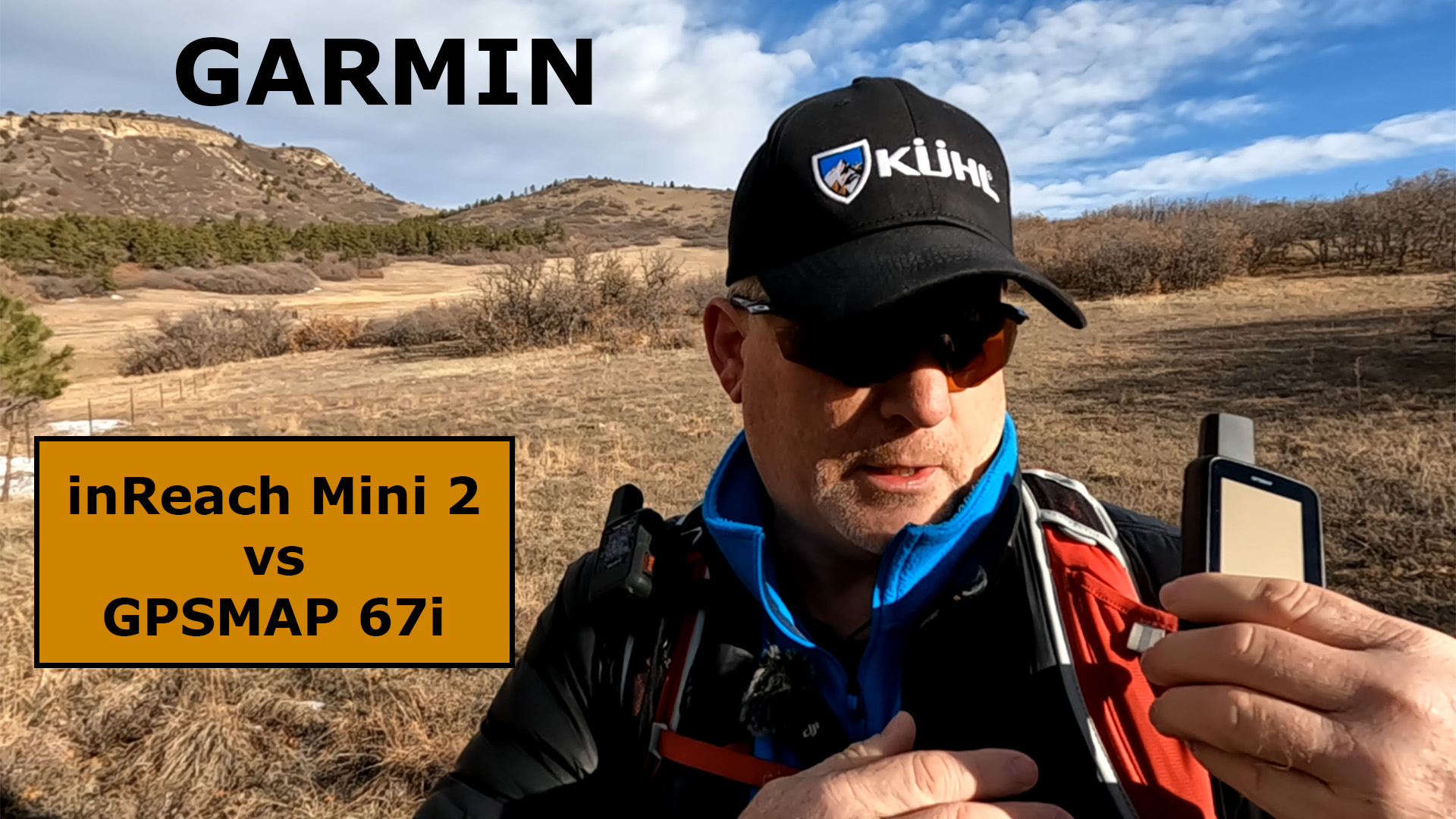
What is the difference between the Garmin inReach Mini 2 vs GPSMAP 67i and is one better than the other for me?


Garmin inReach Mini 2 Features
Features they Have in Common
- Emergency SOS
- 2-way Messaging
- Sync with the Explore App and the Messenger App
- Weather Forecasts
- TracBack if Lost
- Flexible Subscription Plans
- Digital Compass
- Global Pole-to-Pole Satellite Coverage
- Waterproof
Features that Only the Mini 2 Has
- Compact and Lightweight
Learn more about the Garmin inReach Mini 2 Field Test by clicking HERE.
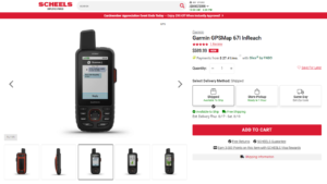
Garmin GPSMAP 67i Features
Features they Have in Common

- Emergency SOS
- 2-way Messaging
- Sync with the Explore App and the Messenger App
- Weather Forecasts
- TracBack if Lost
- Flexible Subscription Plans
Features that Only the 67i Has
- Stand-alone-device
- Download Worldwide Maps with Garmin Express
- Interactive Weather
- ABC Sensors
- Outdoor Maps + Subscription Available
- Advanced Navigation Features
Learn more about the Garmin GPSMAP 67i Field Test by clicking HERE.
Which One Should I Get?
If you like a small and compact device that has nearly the same features as the 67i, when synced with your smartphone, then the inReach Mini 2 may be the right device for you. It is extremely small, but very powerful, and when it’s connected to the Explore App and the Messenger App, you will have topo maps and easy messaging right at your fingertips.
If you prefer an all-in-one device with built-in maps that allows you to never have to use your smartphone then take a close look at the 67i. This device has worldwide maps, available with Garmin Express, and it has more powerful navigation features over the Mini 2. You can also get interactive weather forecasts that show thunderstorms in high detail.
Final Thoughts
The inReach Mini 2 use to be my favorite satellite messenger, as I primarily go on day hikes. I love the small device and the convenience of using my phone with the larger screen.
After the GPSMAP 67i came out, the Mini 2 took second place on my list, primarily due to having everything in one device without needing to use my smartphone, plus I can download worldwide maps and have access to Outdoor Maps + and Interactive Weather.
I really like both of these satellite communicators, and I will be more than happy to help guide you to the right device for you. Please leave comments or questions below if you need some help choosing a satellite messenger.
For more information, watch this YouTube video below.
No products found.
No products found.
![]()
Return to Home Page