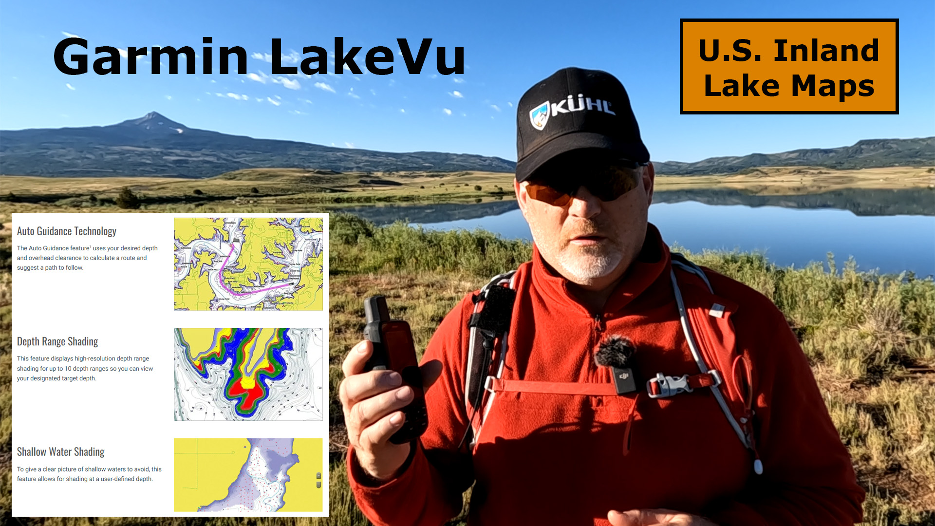
Here’s my first Garmin LakeVu g3 Inland Map Review.

Garmin LakeVu Features
- Over 18,000 Lakes
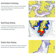
- Up to 1′ Contours with Integrated Garmin and Navionics Data
- Auto Guidance Technology
- Calculates Routes and Show Suggested Path to Follow
- Depth Range Shading for up to 10 Depth Ranges
- Shallow Water Shading
- Displays Points of Interest
- More than 160 Garmin Elite Surveyed Lakes
- Access ActiveCaptain App to Use OneChart
First Impressions
I have recently started using Garmin LakeVu, and I have been impressed with it so far, however, I was curious if one of the lakes I go to a lot in Southwest Colorado would show additional data from LakeVu. Well, it is not included in one of the 18,000 lakes on these maps.
I then panned over in the map to the Blue Mesa Reservoir, west of Gunnison, Colorado, and that lake does show up in LakeVu.
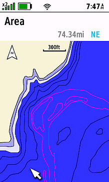
It’s great to be able to see the contours in the lake and see the deeper parts, especially in the summer when the trout will stay lower in the cooler water.
The bottom line is to check to see if the lakes you visit will be included in LakeVu, as not all lakes will be there.
Check out this YouTube video below for additional information.

- Great Product
This product was presentation was made with AAWP plugin.

- Great Product
This product was presentation was made with AAWP plugin.

- Auto Guidance (1600+ HD Lakes) - A Garmin exclusive, Auto Guidance directs you to your hot spots quickly by instantly creating an on-screen path for your boat to follow that avoids shallow water and other charted obstructions. Shown with Mariner Eye view.
- High Resolution Relief Shading adds visual depth to the 2-D map making it easier to interpret contours and find fish holding structure.
- Dynamic Lake Level (1600+ HD Lakes) - Allows you to adjust your maps to the lake's current water levels giving you a better idea of spots that are either accessible or too shallow to explore.
- Fisheye View (1600+ HD Lakes) - Underwater perspective shows 3-D representation of lake bottom and contours as seen from below the waterline. Interface with sonar data for customized view.
- COMPATIBLE UNITS - GPSMAP 527, 547, 721, 741, 820, 840, 1020, 1040, 7400, 7600, 8000, echo MAP 40, 50, 70 and 90 series
This product was presentation was made with AAWP plugin.
No products found.

Return to Home Page