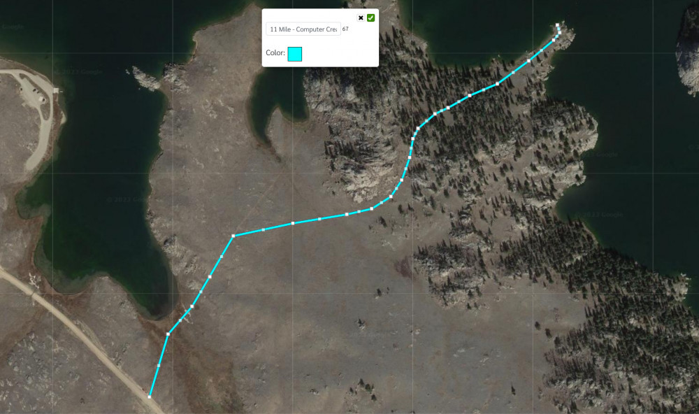
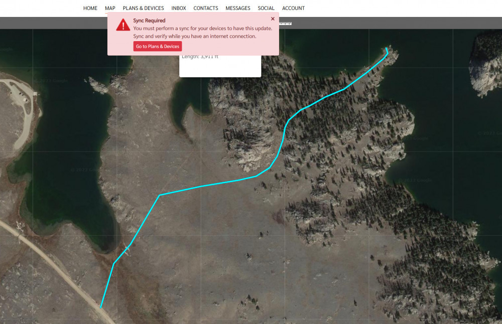
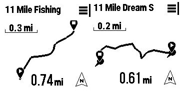
How to display your course on the Mini 2 after creating it on the Explore Map page.
First! You Must Sync Your Device
The first thing you must do is sync your Garmin inReach device after you create a route or course on the Explore.Garmin Map page, or on the Explore App.
I will cover two ways to create a route or course in the sections below and will tell you what my preference is at the end.
Create a Route on Explore.Garmin
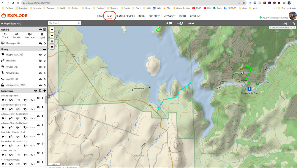
First, go to your Explore.Garmin Map Page.
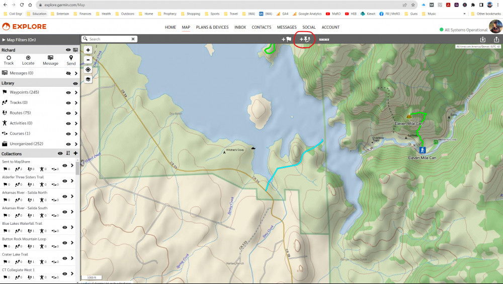
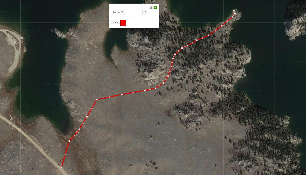
Now, select the pin icon at the top and start creating your trail.
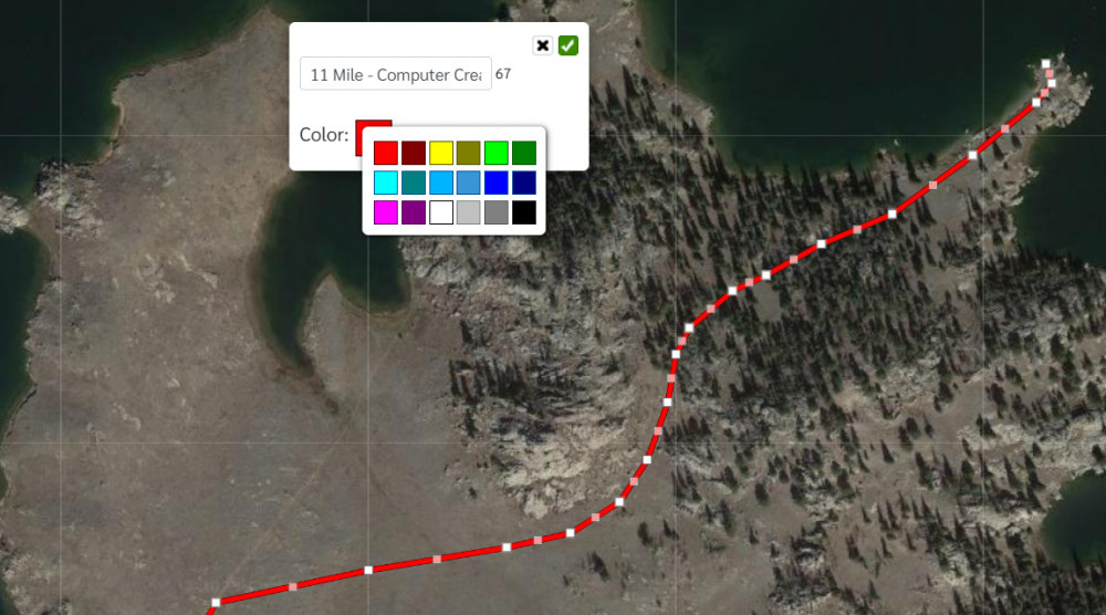
After completing your route, you can change the name and color of the path.
Now, you will see a message that you must sync the Map page with your device.
You can choose to sync with the Garmin Express software of the Explore App. If you choose the Explore App, then open the App, and go to Devices, then select sync.
It’s that simple. Now your course will show up on the Explore App and on your Garmin inReach satellite communicator.
Create a Course on the Explorer App
The other way to create a course is with the Explore App. Open the app and make sure you’re on the Map page. Then select the (+) icon at the top left.
You will be asked if you want to create a course.
Now, touch points on the screen to create the course.
Lastly, rename the course if desired and select save.
Again, you have not finished until you sync with your device.
Now, the course will show up on your Garmin inReach satellite communicator.
Final Thoughts
My preference is to create all of my courses, not routes, on the Explore App. I find it much more simple and I can easily do this on my smartphone, and don’t have to be worried about connecting my laptop to the internet.
Check out this YouTube video below for more information.
- Compact, lightweight satellite communicator enables two-way messaging and interactive SOS globally (Active satellite subscription required. Some jurisdictions regulate or prohibit the use of satellite communication devices.).Special Feature:Bluetooth.Water Resistant: Yes
- Navigate back to where you started by using TracBack routing
- Share your location with loved ones back home at any time (active satellite subscription required) by using your MapShare page or with your coordinates embedded in your messages
- Get accurate heading information using the digital compass — even when you’re not moving
- Sync with the Garmin Explore app and website on your compatible smartphone for trip planning and topographical mapping, and create waypoints, courses, activities and collections you can sync to your device
- Pair with Garmin devices, such as wearables and handhelds, and use them to send and receive messages and trigger an SOS (active satellite subscription required)
This product was presentation was made with AAWP plugin.
- Large 3” sunlight-readable color display for easy viewing
- Enable two-way messaging and location tracking via the 100% global Iridium satellite network, and trigger an interactive SOS to Garmin Response℠, a 24/7 staffed emergency response coordination center (active subscription required; some jurisdictions regulate or prohibit the use of satellite communications devices)
- Access preloaded TopoActive mapping from Garmin, view satellite imagery, and navigate with multi-band GNSS support and sensors
- When paired with your compatible smartphone, you can access active weather forecasts and Geocaching Live
- Use with the Garmin Explore website or app on your compatible smartphone to help you plan trips and more
- Get access to a wide variety of premium mapping content delivered directly to your device via Wi-Fi technology with an Outdoor Maps+ subscription
This product was presentation was made with AAWP plugin.
Return to Home Page
