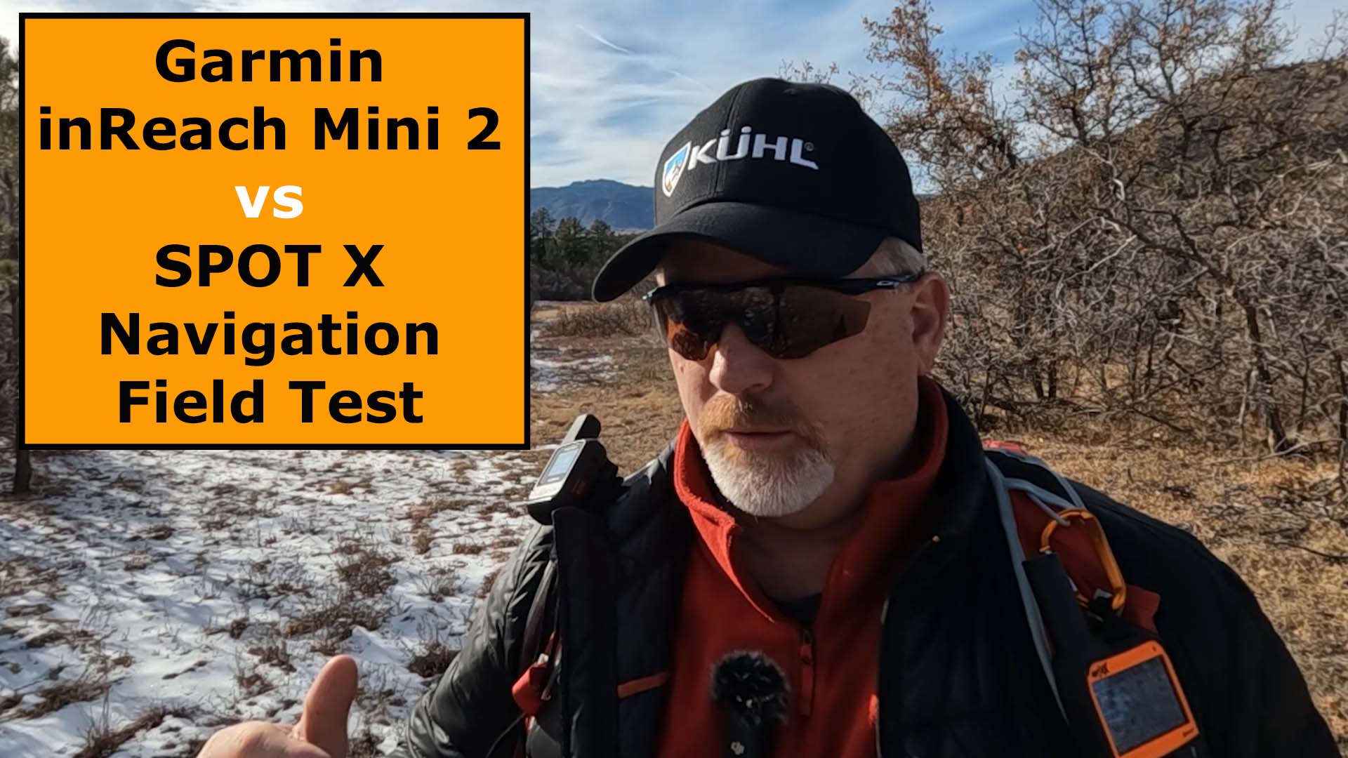
Watch this Field Test between the Garmin inReach Mini 2 vs SPOT X, and see if you think there is a clear winner.


First, Let’s Look at the Differences
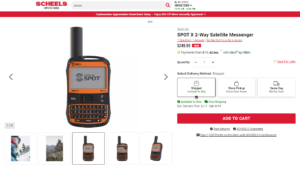
- The SPOT X is two or three times larger than the Mini 2
- The SPOT X has a larger keyboard
- The inReach Mini 2 can display maps on a synced smartphone
- The Garmin inReach Mini 2 can get weather forecasts on a synced smartphone
- The SPOT X has a built-in keyboard
- The Mini 2 has Global, Pole-to-Pole satellite coverage
Now, What About the Similarities?
- SOS Function
- Two-way Messaging
- Satellite Messenger
- Navigation
- Tracking
- Waypoint Creation
Here’s a quick look at some of the specifications between both satellite messengers.

The Navigation Field Test
I headed out to an open space trail near my home in Colorado to field test these two satellite messengers, primarily with respect to navigation, and here’s what I found out between the two.
First, make sure your device is ready to go before heading out. Make sure you have a subscription and that your satellite messenger is connected to your smartphone by Bluetooth.
Next, set your waypoint in the SPOT X and/or the Garmin inReach Mini 2. In this test, I created a route in the Explore App and was able to find my way through the scrub oak because I could see a gap in the trees from the aerial I was using in the App. I could not see this on the SPOT X and would have struggled more with finding a way through the trees.

Now, start navigating to your waypoint. You can see in the following photo that the SPOT X only gives me a direction and distance, while the Mini 2 and the Explore App gives me that information, plus the aerial and waypoints to find my way through the trees more easily.

I am half-way through my test and can see the gap in the trees now to where I believe I will be able to find my way through the brush.

I’m finally almost on top of my waypoint and you can see how much easier it is to navigate with the Mini 2.

Final Thoughts
You tell me. What satellite messenger do you prefer for navigation?

Check out the Navigation Field Test in this YouTube video below.

- Compact, lightweight satellite communicator enables two-way messaging and interactive SOS globally (Active satellite subscription required. Some jurisdictions regulate or prohibit the use of satellite communication devices.).Special Feature:Bluetooth.Water Resistant: Yes
- Navigate back to where you started by using TracBack routing
- Share your location with loved ones back home at any time (active satellite subscription required) by using your MapShare page or with your coordinates embedded in your messages
- Get accurate heading information using the digital compass — even when you’re not moving
- Sync with the Garmin Explore app and website on your compatible smartphone for trip planning and topographical mapping, and create waypoints, courses, activities and collections you can sync to your device
- Pair with Garmin devices, such as wearables and handhelds, and use them to send and receive messages and trigger an SOS (active satellite subscription required)
This product was presentation was made with AAWP plugin.

- SYNC WITH BLUETOOTH: Connect to SpotX to cellphone so you can communicate with family or even search and rescue; Use as a standalone communication device with it's own dedicated US mobile number to receive messages
- PEACE OF MIND: Send S.O.S. to 24/7 Search & Rescue service, message back and forth about the nature of your emergency, receive confirmation when help is on the way; Message any cell number or email address virtually anywhere
- GLOBALSTAR SATELLITE & SPOT products use GPS to determine location and transmit GPS coordinates to others; SPOT users can notify friends, family or emergency rescue their exact GPS coordinates
- WHAT'S IN THE BOX: SpotX Device, strap and carabiner, micro usb data/power cable, quick start guide, SOS mirrored sticker, warranty card and kickstand
- PURCHASE, ACTIVATE, EXPLORE: Grab a Spot X 2-way Satellite Messenger; Activate by selecting your service plan; Get out there and explore the world with peace of mind
This product was presentation was made with AAWP plugin.

- Large 3 inch Sunlight-readable color display for easy viewing
- Trigger an interactive SOS to the geos 24/7 search and rescue monitoring center, two-way messaging via the 100% Global Iridium satellite network (satellite subscription required)
- Preloaded Garmin TOPO mapping with direct-to-device Birdseye satellite imagery downloads (no annual subscription), includes multiple global navigation satellite systems (GNSS) support and navigation sensors
- Cellular connectivity lets you access active weather forecasts and geocaching live
- Compatible with the Garmin explore website and app to help you manage waypoints, routes, activities and collections, use tracks and review trip data from the field
- Internal, rechargeable lithium battery provides up to 35 hours of battery life in 10-minute tracking mode and 1-minute tracking mode (display off), 200 hours in Expedition mode with 30-minute tracking
This product was presentation was made with AAWP plugin.

- Features rugged military-grade construction and a 5” touchscreen display that’s 50% larger than the previous model; offers easy viewability and includes versatile mounting solutions.Control Method:Touch,Application.Special Feature:Routable Topo Maps; Multiple GNSS Networks, ABC Sensors; inReach Satellite Communication; BirdsEye Satellite Imagery.
- Trigger an interactive SOS to the GEOS 24/7 monitoring center — two-way messaging via the 100% global Iridium satellite network (active satellite subscription required; some jurisdictions regulate or prohibit the use of satellite communications devices).
- Multi-GNSS (GPS and Galileo) support — plus preloaded TopoActive maps and City Navigator street map navigation; navigation sensors include 3-axis compass and barometric altimeter
- Pro-connected with ANT+ technology, Wi-Fi connectivity and BLUETOOTH wireless networking, giving you direct-to-device access to BirdsEye Satellite Imagery downloads, location sharing, Connect IQ app support and more
- Compatible with the Garmin Explore website and app to help you manage waypoints, routes, activities and collections, use tracks and review trip data from the field
This product was presentation was made with AAWP plugin.
Return to Home Page
![]()