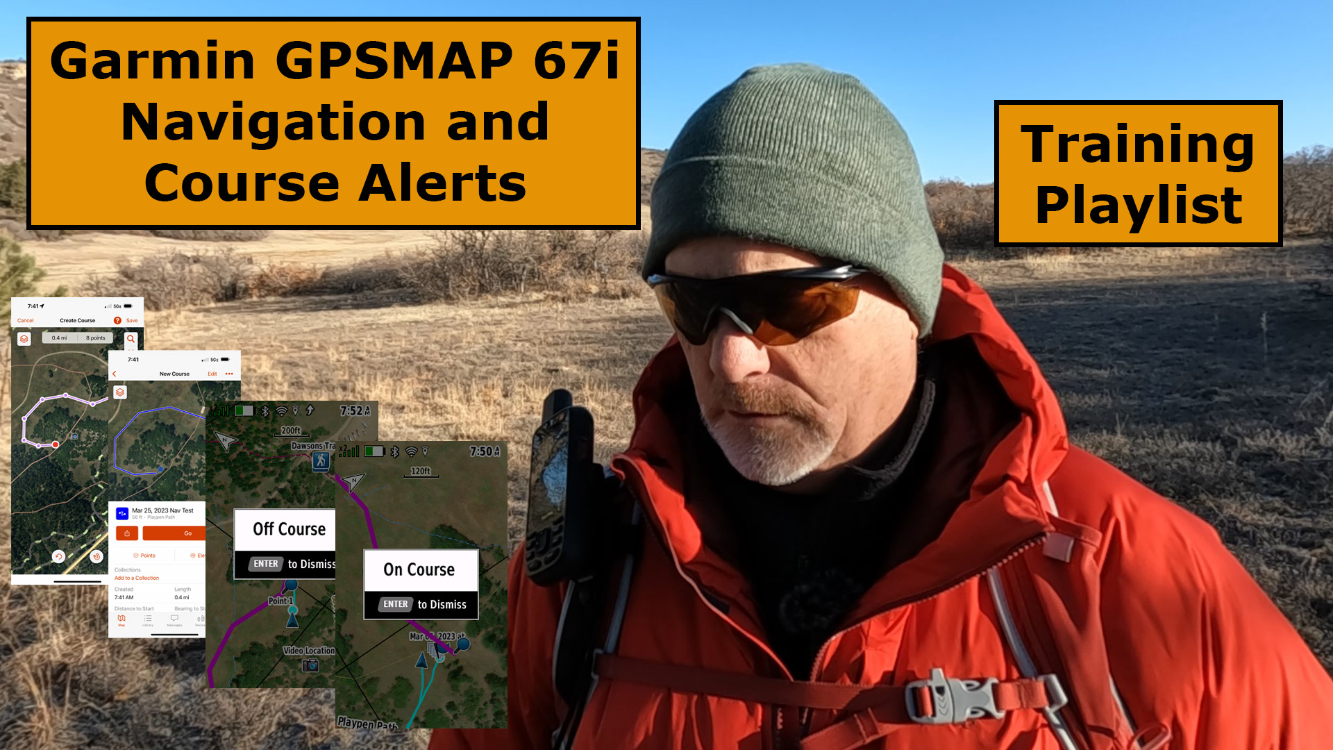
Watch Garmin GPSMAP 67i Navigation and Course Alerts to see how well the 67i does and will it really give you on-course and off-course alerts?

Problems with Course Alerts?
I started having problems with course alerts, or lack thereof, when I started testing my new GPSMAP 67i. I had received course alerts in the past with my Mini 2 and my 66i, but it wasn’t happening with my new 67i.
I was sure it was a problem with the 67i or some settings and I was about to call Garmin when some subscribers mentioned that I needed to change the settings in the Menu, under the Marine Page.
Why are the course alerts in the Marine page, I have no idea.
Course Alerts Settings
Go into the Setup Menu and select on the Marine Icon. Next, select MARINE ALARM SETUP, then OFF COURSE ALARM, and pick your distance, in miles. The shortest distance for the course alarm is 0.01 miles, which is approximately 53 feet, but given the accuracy of the satellite systems, you should expect a course alert after going off-course within 100 feet.
See the steps below in the image.

Course Alerts in a Field Test
I have tested the course alerts several times in the two weeks since receiving my GPSMAP 67i, both when navigating and during TracBack.
I can confidently tell you that the On-Course and Off-Course alerts do work, but several times I traveled more than 100 feet off course before I received the course alert.
Check out this first image of the course alerts when testing TracBack.

Here are other course alerts when navigating.

Final Thoughts
If you have any issues with course alerts, first check your alert settings under the Marine Page, then if you still have problems, don’t hesitate to leave a question below or call the Garmin Technical Support Line.
Check out the YouTube video below for more information.
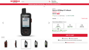
No products found.
Return to Home Page
![]()