GPSMAP 66i vs Montana 700i

Garmin GPSMAP 66i

Garmin GPSMAP 67i

Garmin Montana 700i

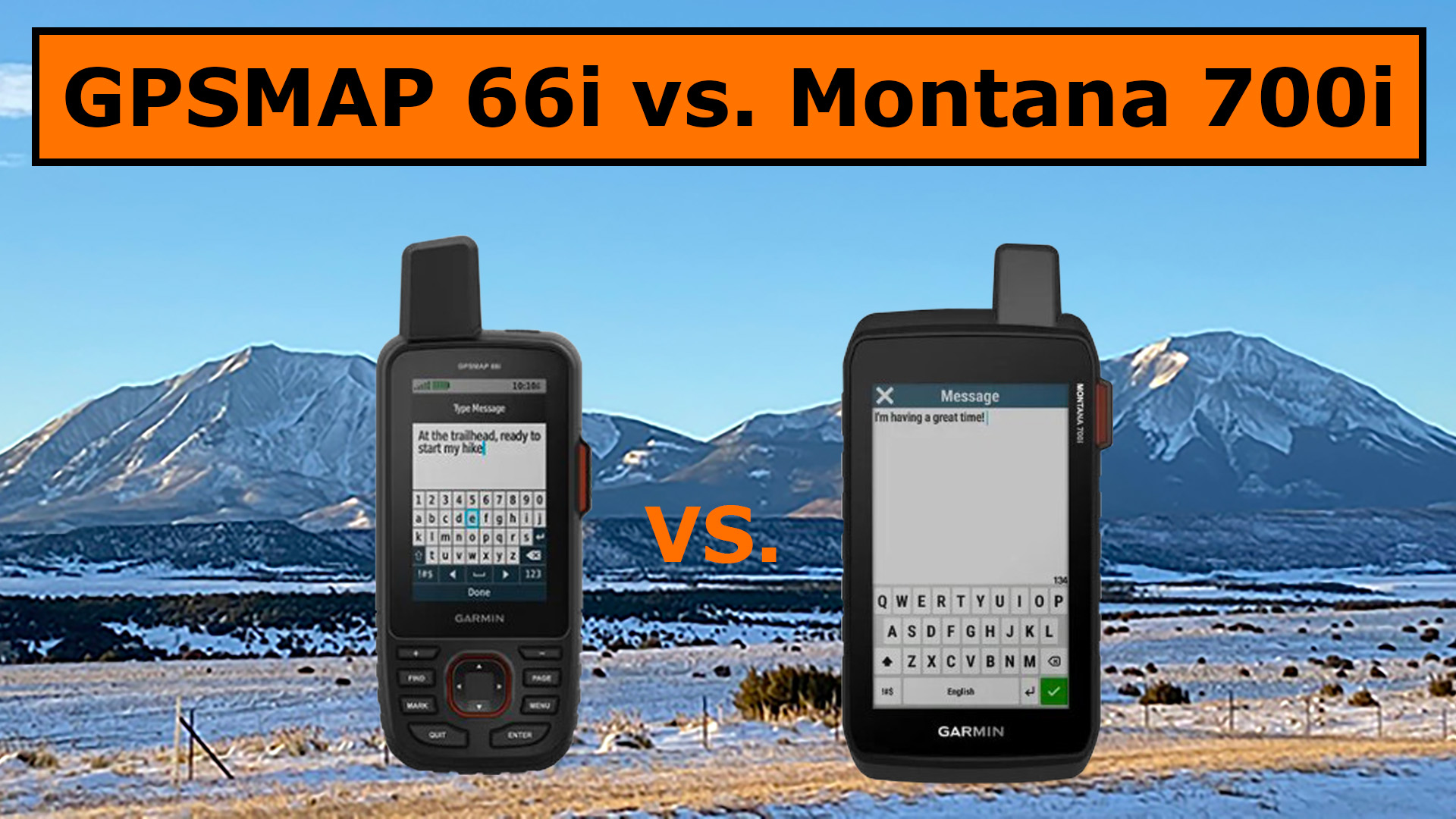
Have you ever wondered what satellite messenger would win the battle between the GPSMAP 66i vs Montana 700i. Well, read on until the end, then watch the YouTube video to find out if there is a clear winner.

GPSMAP 66i vs Montana 700i

Similar Features

  • Garmin inReach Devices
  • Global, Pole-to-Pole Satellite Service
  • SOS Function
  • 2-way Messaging
  • Built-in Maps
  • Weather

Features that the 700i Has

  • Touch screen
  • Photos
  • Routable Topographic Maps
  • City Navigator Maps
  • Public Land Boundaries
  • Dog Tracking
  • Wikiloc Trails

Garmin Montana 700i

What I Like and Don’t Like

Right off I’ll tell you that the 700i is a large device and I wouldn’t recommend carrying it on a pack. It’s best if mounted to a jeep, ATV, bike, kayak, etc.

What I like about the 700i is the touch screen, the routable topographic maps, and the city navigation maps.

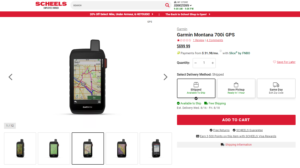
Click [HERE] for the Latest Price on the Garmin Montana 700i

The GPSMAP 66i is better for hiking as it is a lot smaller and weighs less. It is nearly as powerful as the Montana 700i and has everything I need in a satellite messenger.

GPSMAP 66i and Mini 2 on my Pack

Final Thoughts

I will be buying the Montana 750i soon as I can use it in my truck and ATV but that’s all I will use it for. When I go hiking, hunting or fishing, I’ll be using the 66i.

Click [HERE] for the Latest Price on the Garmin GPSMAP 66I

Mike has other priorities and he likes the large screen, especially the touch screen and that’s great. There is a satellite messenger for everyone and we’re not all going to need the same device.

The bottom line is the 750i is better for Mike and the 66i is better for me, so we actually both win, because it’s not what satellite messenger is the best, but what device is the best for you.

Sale
Garmin GPSMAP 66i, GPS Handheld and Satellite Communicator, Featuring TopoActive mapping and inReach Technology, Multi
  • Large 3 inch Sunlight-readable color display for easy viewing
  • Trigger an interactive SOS to the geos 24/7 search and rescue monitoring center, two-way messaging via the 100% Global Iridium satellite network (satellite subscription required)
  • Preloaded Garmin TOPO mapping with direct-to-device Birdseye satellite imagery downloads (no annual subscription), includes multiple global navigation satellite systems (GNSS) support and navigation sensors
  • Cellular connectivity lets you access active weather forecasts and geocaching live
  • Compatible with the Garmin explore website and app to help you manage waypoints, routes, activities and collections, use tracks and review trip data from the field
  • Internal, rechargeable lithium battery provides up to 35 hours of battery life in 10-minute tracking mode and 1-minute tracking mode (display off), 200 hours in Expedition mode with 30-minute tracking

This product was presentation was made with AAWP plugin.

Sale
Garmin Montana 700i, Rugged GPS Handheld with Built-in inReach Satellite Technology, Glove-Friendly 5" Color Touchscreen
  • Features rugged military-grade construction and a 5” touchscreen display that’s 50% larger than the previous model; offers easy viewability and includes versatile mounting solutions.Control Method:Touch,Application.Special Feature:Routable Topo Maps; Multiple GNSS Networks, ABC Sensors; inReach Satellite Communication; BirdsEye Satellite Imagery.
  • Trigger an interactive SOS to the GEOS 24/7 monitoring center — two-way messaging via the 100% global Iridium satellite network (active satellite subscription required; some jurisdictions regulate or prohibit the use of satellite communications devices).
  • Multi-GNSS (GPS and Galileo) support — plus preloaded TopoActive maps and City Navigator street map navigation; navigation sensors include 3-axis compass and barometric altimeter
  • Pro-connected with ANT+ technology, Wi-Fi connectivity and BLUETOOTH wireless networking, giving you direct-to-device access to BirdsEye Satellite Imagery downloads, location sharing, Connect IQ app support and more
  • Compatible with the Garmin Explore website and app to help you manage waypoints, routes, activities and collections, use tracks and review trip data from the field

This product was presentation was made with AAWP plugin.

Return to HOME PAGE

Leave a Comment